Map Skills Bahamas
Map Skills
A$5.00
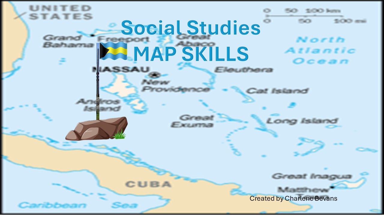
This PowerPoint presentation on map skills is designed to help your students engage effectively in learning, with a focus on the fundamental skills required to read and interpret a map. This comprehensive, interactive lesson teaches students how to read latitude and longitude using a variety of effective strategies. These include explorations of the North Pole, the South Pole, and the Equator, as well as a thorough understanding of the cardinal directions: north, south, east, and west. In addition, the lesson delves into the concepts of the northern and southern hemispheres and the prime meridian and develops critical thinking skills through a series of six thought-provoking questions. Such an approach not only strengthens their map-reading skills but also fosters a deeper understanding of global geography and navigational tools, ultimately enhancing their overall skill set in geography and beyond.
Grade: 5th - 7th
Slides: 14
What's Included:
Video embedded
Latitude and Longitude
Lines run from east to west
North or South of the equator (0 degrees)
Prime Meritian
Location's Coordinates
Testing your map skills (6 questions)